Rubén Castro Redondo
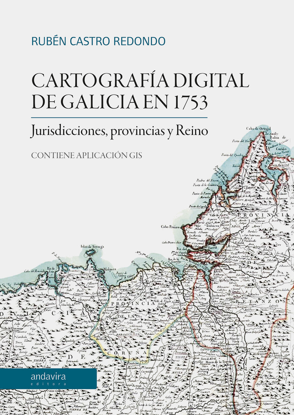
Digital cartography of Galicia in 1753. Jurisdictions, Provinces and Kingdom.
Digital cartography of Galicia in 1753. Jurisdictions, Provinces and Kingdom.
Couldn't load pickup availability
Share
Rubén Castro Redondo offers us a work that is far from being a mere working tool: it is the culmination of an objective that has been largely achieved thanks to new technologies. For the first time in Galicia, those who need to use historical cartography from the mid-18th century can verify its enormous usefulness, although they will not be fully aware of the effort in time, patience, and meticulousness—elements necessary for scientific rigor—that it may conceal at first glance. Along with the technological advances of recent years, perhaps the inherent complexity of a project like the one we are now presenting somehow explains the delay of a work that should have been available to anyone, researcher or not, with an interest in the historical territorial administration of the Kingdom of Galicia, a long time ago.